The web of our life is of a mingled yarn, good and ill together. – William Shakespeare
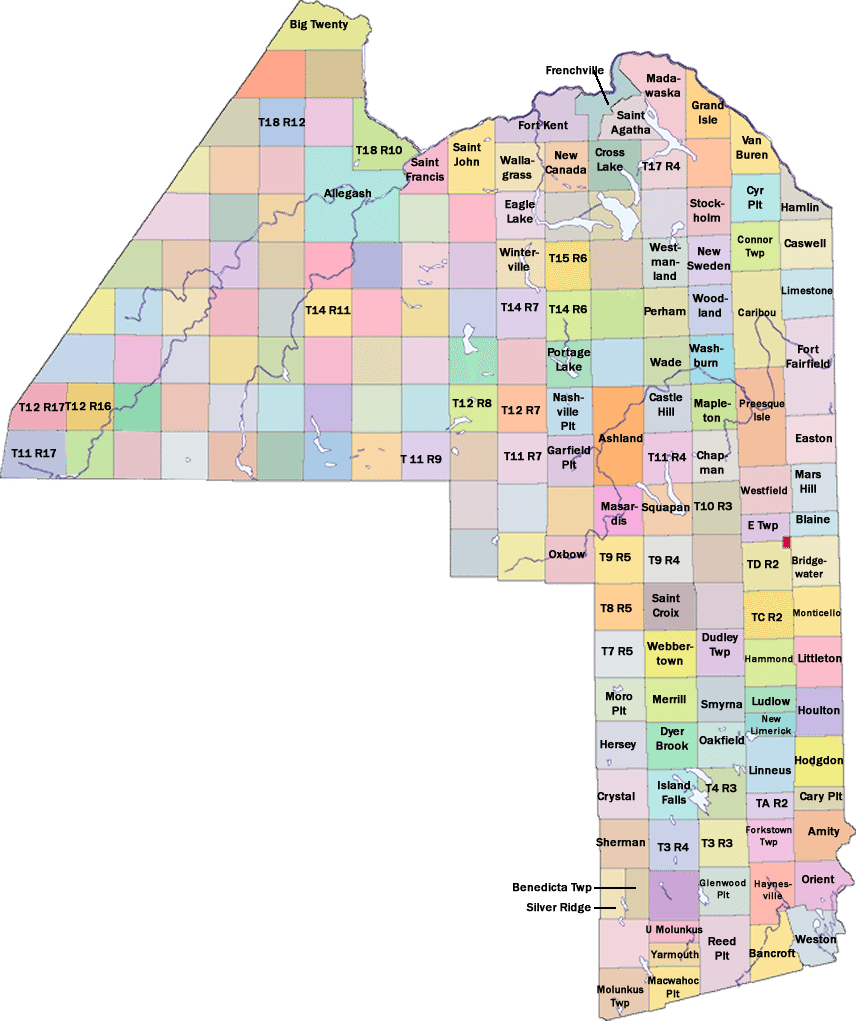
Townships
Clicking on any named township grid location will open a page with information about that township. To return to this map, click on the button at the bottom of the page. Please note that only those grids that are or were populated are shown on this map.
You can also see a list of all the townships by clicking here.